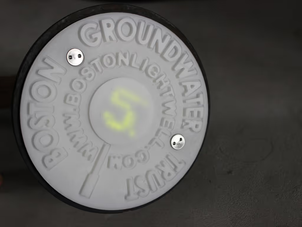
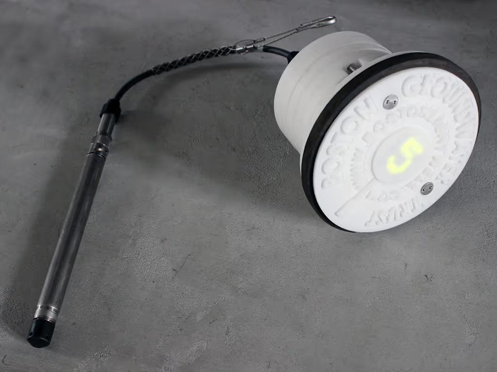
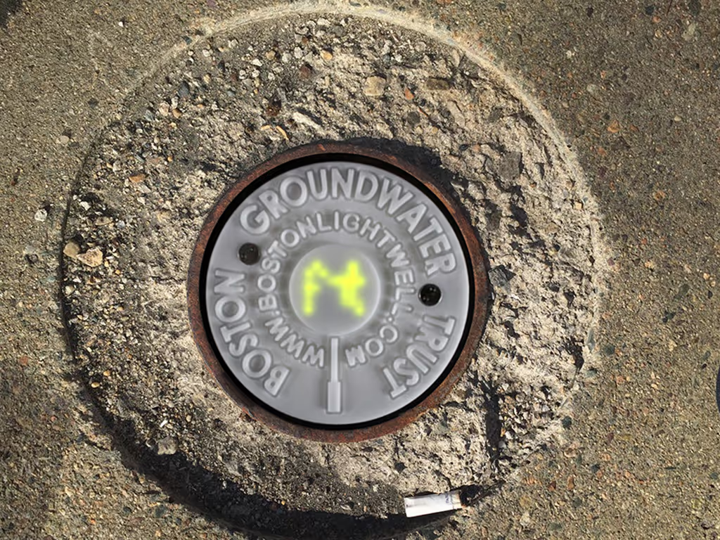
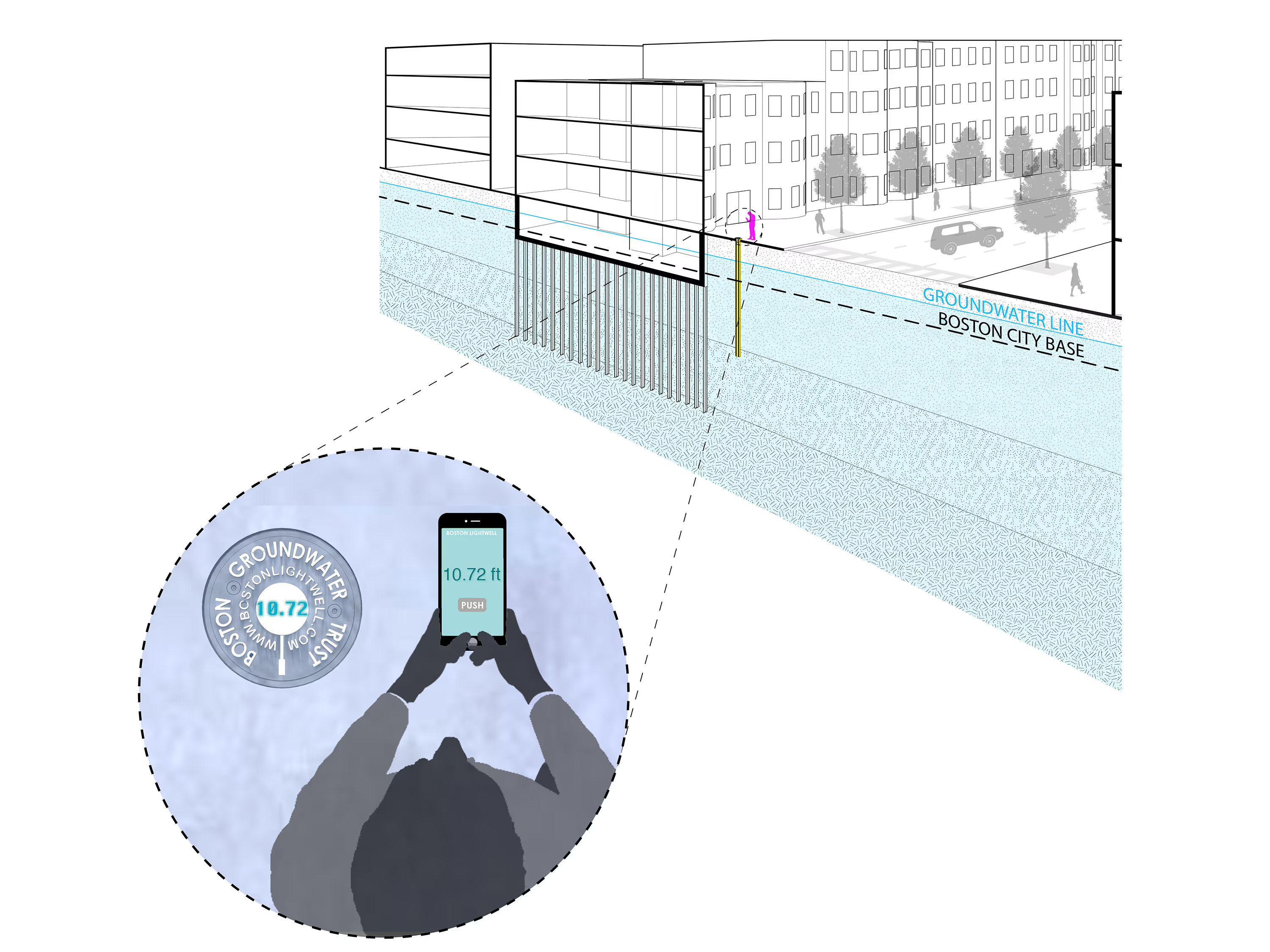
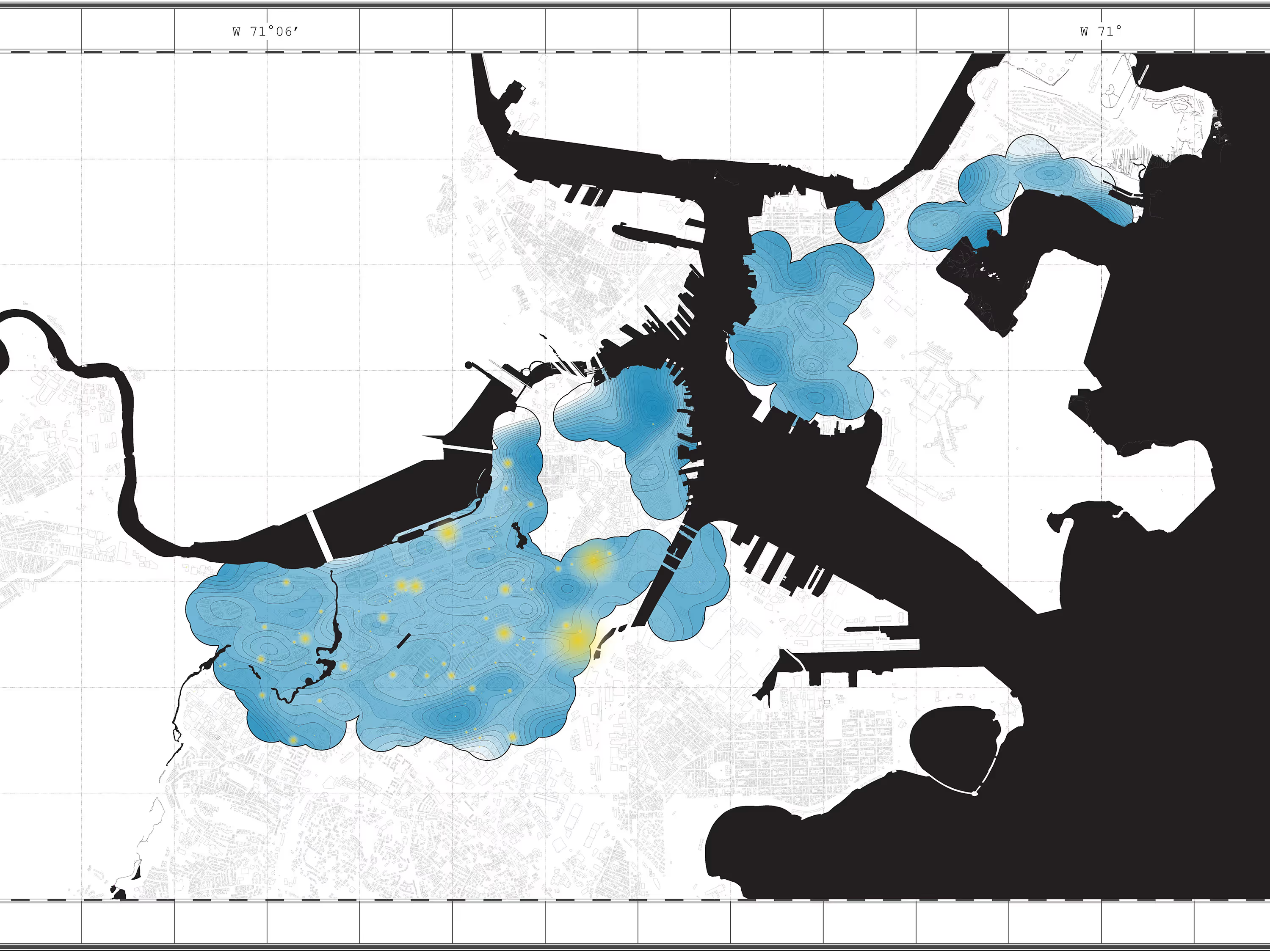
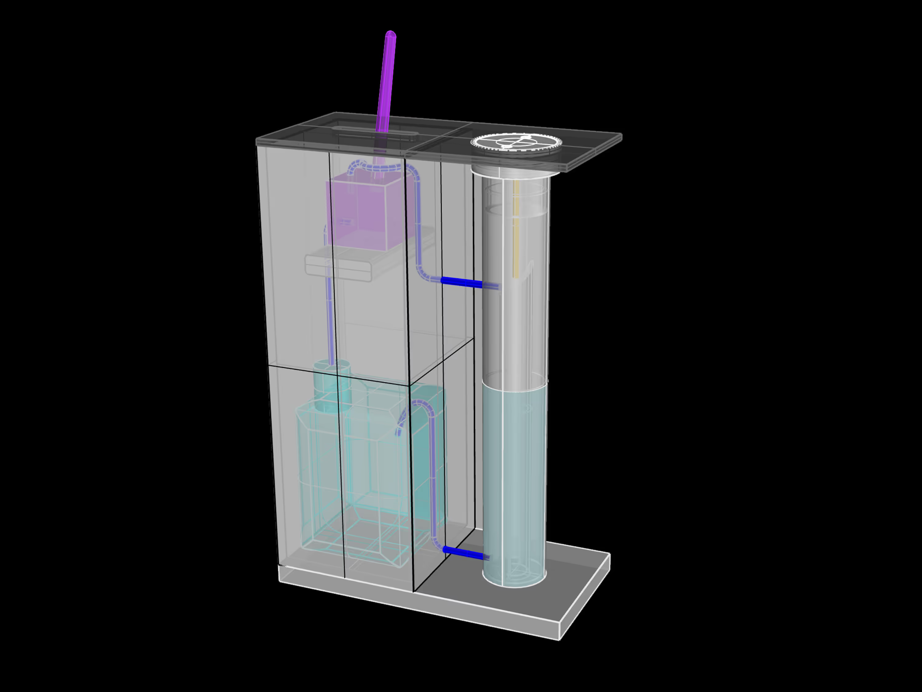
Draw-down of groundwater in the urban environmentthreatens the wood foundations of historic buildings and the health of urbancoastal, riverine and groundwater ecologies through stormwater pollution andseawater intrusion. It also increases urban vulnerability to heat waves, sealevel rise, and extreme storm events. This work makes the real-time monitoringof groundwater in public space a valuable tool to communicate and evaluate theimpacts of localized mitigating strategies, and engages the public in implementingthese solutions. Collecting groundwater level data is a difficult, slow, and manualprocess. This installation leverages existing groundwater monitoringwells established by the Boston Groundwater Trust, equipping them with newlyredesigned caps housing LEDs and microcontrollers with Bluetooth capabilityconnected to pressure sensors. Groundwater levels are displayed in real timeand crowd-sourced to generate interactive visualization tools.
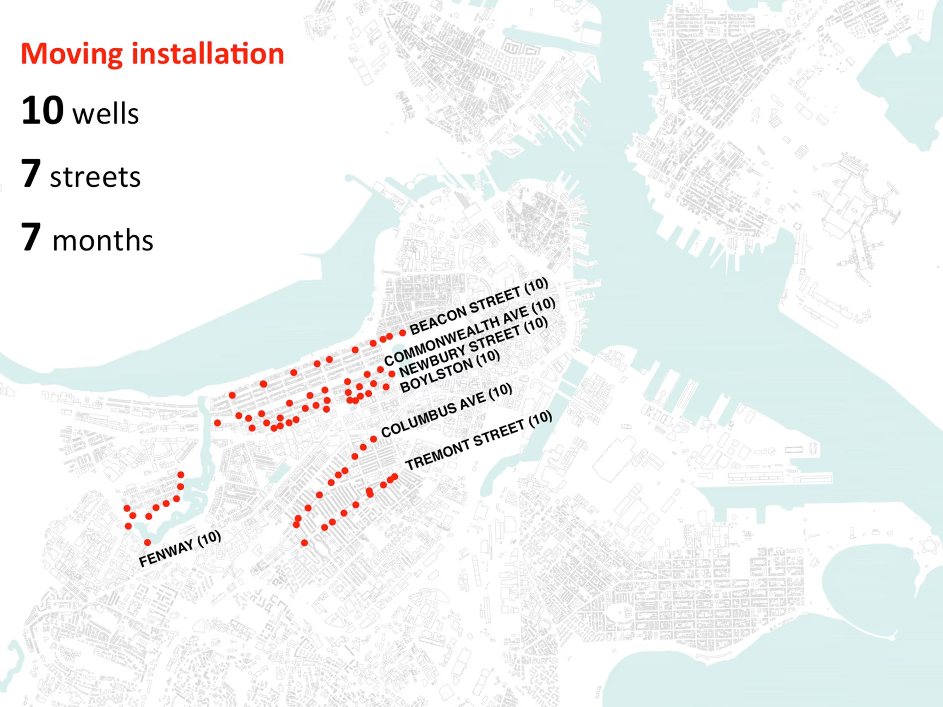
7 Streets with 10 Wells over 7 Months:
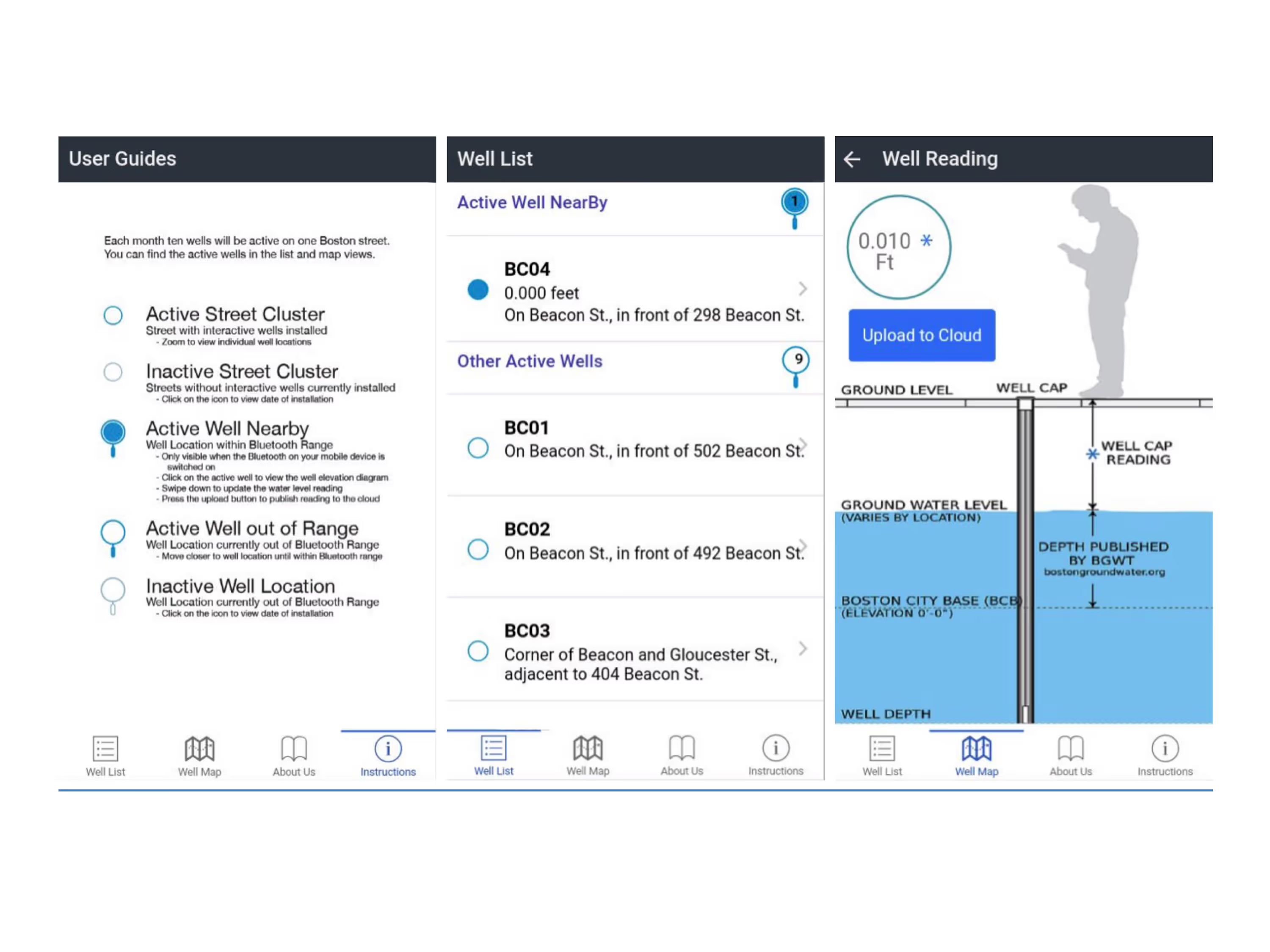
Ten Bluetooth-enabled well caps were on display on each of the seven listed streets for a period of one month. During that time, residents and visitors saw real-time groundwater level data digitally displayed on the face of the well caps and could interact with the data through a mobile app. Clicking on a data well within range displays a current reading along with the groundwater diagram. With a mobile device, community members helped us collect these data readings by uploading them to the cloud. Each month the data wells were relocated to the next street in the sequence.